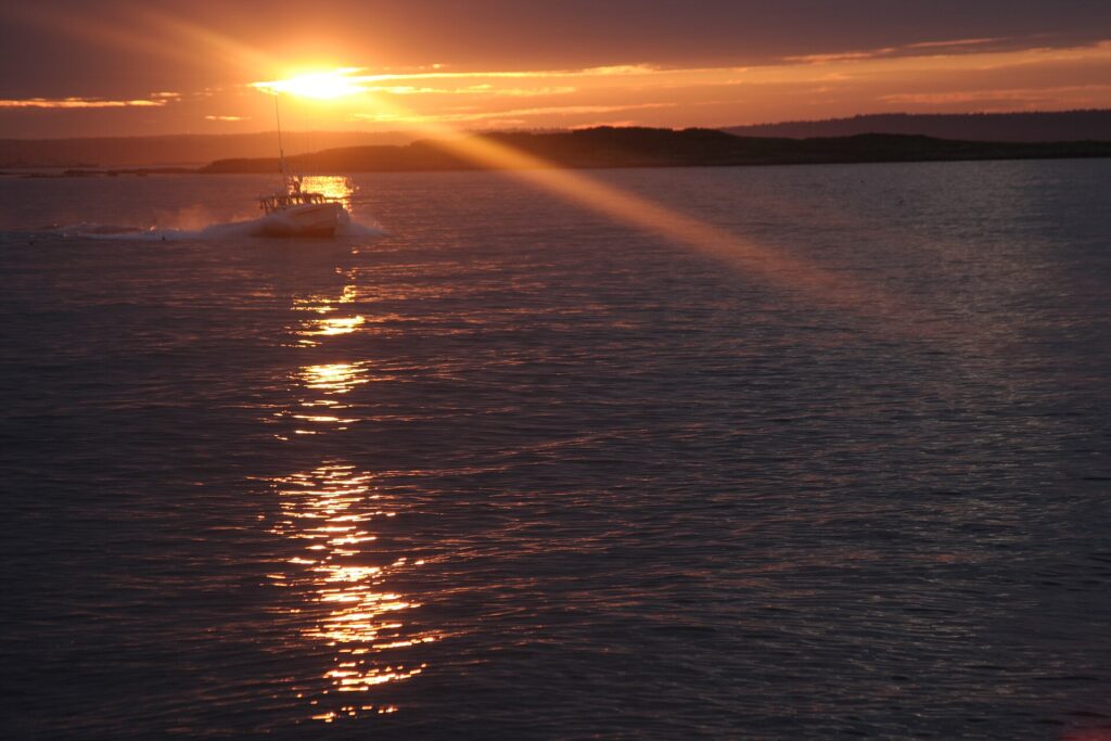
Bailey Island is the outermost of the islands in the town of Harpswell, in Casco Bay, and you can drive to it. It is nearly three miles long and less than a mile wide, with 363 year-round residents (2020 census). Its famous landmark is the Cribstone Bridge, a granite span built without mortar that is described as the only one of its kind in the world. Most visits come down to the bridge, a short walk at Giant’s Stairs, the view from Land’s End and a lobster meal. The main thing to plan around is parking, because the island has very little of it.
Bailey Island at a glance
- Where: part of Harpswell, Cumberland County, about 15 miles south of Brunswick and roughly an hour from Portland.
- Getting there: Route 24 south from Cook’s Corner on Route 1 in Brunswick. It crosses Great Island and Orr’s Island, then the Cribstone Bridge, and ends at Land’s End. There is no ferry, reservation or gate.
- Parking: small lots and designated roadside spots only, and the shoulders are narrow and posted.
- Best timing: early or late in the day, since midday in summer is the busiest.
The Cribstone Bridge
The Bailey Island Bridge crosses Will’s Gut between Orr’s Island and Bailey Island. The state’s bridge engineer, Llewellyn Edwards, designed it, and it was built in 1927 and 1928 (sources give both years). It is about 1,150 feet long and uses roughly 10,000 tons of granite slabs laid in crisscrossing courses with open cells, so the tide flows through instead of piling up against it. The town describes it as held together by gravity alone, and its design was modeled on a Scottish bridge that no longer exists.
- Listed: National Register of Historic Places in 1975, and a National Historic Civil Engineering Landmark on July 19, 1984.
- Repairs: cracked and sheared stones were reconstructed in 2009 and 2010, and the bridge reopened on November 20, 2010.
- Walking it: there is no sidewalk, so keep children off the road side and walk single file.
- Photo spot: the town says the best photos are taken from the point at Cook’s Lobster House.
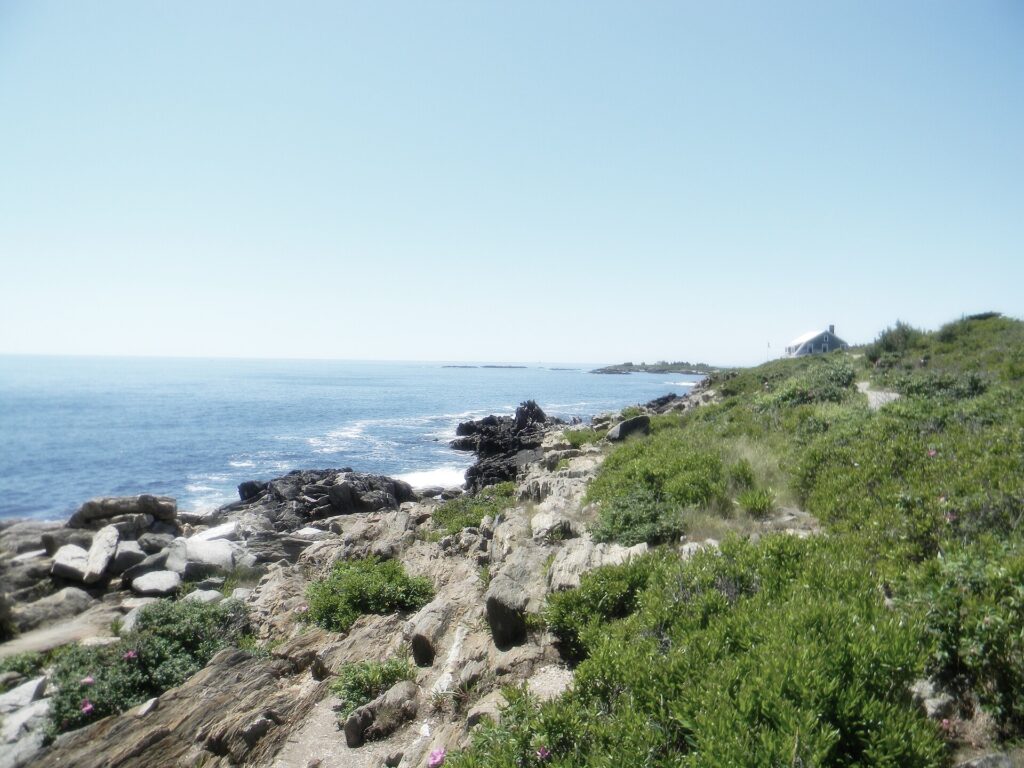
Giant’s Stairs and the McIntosh Lot Preserve
Giant’s Stairs is a short shoreline path along a cliff edge with stepped rock ledges. The trail is owned and managed by the Town of Harpswell, and the McIntosh Lot Preserve next to it belongs to Harpswell Heritage Land Trust. The land trust describes the loop as an easy half mile.
- Directions: from Cook’s Corner in Brunswick follow Route 24 south for 14.5 miles, cross the Cribstone Bridge, turn left on Washington Avenue and follow it as it turns right.
- Parking: designated spots along the road, with no overnight parking. Only a handful of cars fit.
- Dogs: allowed on a leash at all times, with waste carried out.
- Rules: no camping, fires or alcohol, carry in and carry out, and pedestrian use only on the McIntosh Lot trail.
- Safety: the ledges are uneven and slick when wet, and storm surf can be dangerous.
Land’s End and Mackerel Cove
Route 24 ends at a small parking area above the rocks at the southern tip, where a memorial remembers Maine fishermen lost at sea. Mackerel Cove on the western side is a working harbor. View it from the public road and stay off private floats. The maine.com guide also mentions a small unstaffed pocket beach with no facilities and minimal parking.
Where to eat
Cook’s Lobster & Ale House sits on Garrison Cove at the Bailey Island end of the bridge and is the island’s best-known lobster stop. The maine.com guide says it closes for a short week in the off season, so call ahead if you are visiting in the colder months.
A short history of Bailey Island
- Before settlement: the local Abenaki people called the island Newaggin.
- By 1727: William Black, son of a freed slave known as Black Will of Kittery, had settled permanently on what was then called Will’s Island.
- Around 1742: the Rev. Timothy Bailey took possession, and the island took his name. Accounts of how he acquired it vary.
- 1861: Harriet Beecher Stowe’s novel The Pearl of Orr’s Island helped start the island’s tourism, and the Ocean View Hotel opened.
- 1936: Carl Jung gave lectures at Bailey Island Library Hall, which is listed on the National Register of Historic Places.
- 1939: the bronze Maine Lobsterman statue was created for that year’s World’s Fair.
Tips for visiting
- Go early or late: the last two hours of daylight also give better light on the granite.
- Drive slowly: Route 24 is two lanes, with a low speed limit through neighborhoods for much of the last ten miles.
- Respect the signs: private roads and shoulders are posted, and parking there can get you towed.
- Take the stairs carefully: do not go near the water on the ledges during storm surf.
Sources: Wikipedia on Bailey Island, Wikipedia on the Bailey Island Bridge, Town of Harpswell, Harpswell Heritage Land Trust, maine.com. Checked November 7, 2026; parking, hours and rules change, so confirm before you go.
Featured photo: the Cribstone Bridge connecting Orr’s Island and Bailey Island, by Paul VanDerWerf, CC BY 2.0, via Wikimedia Commons.