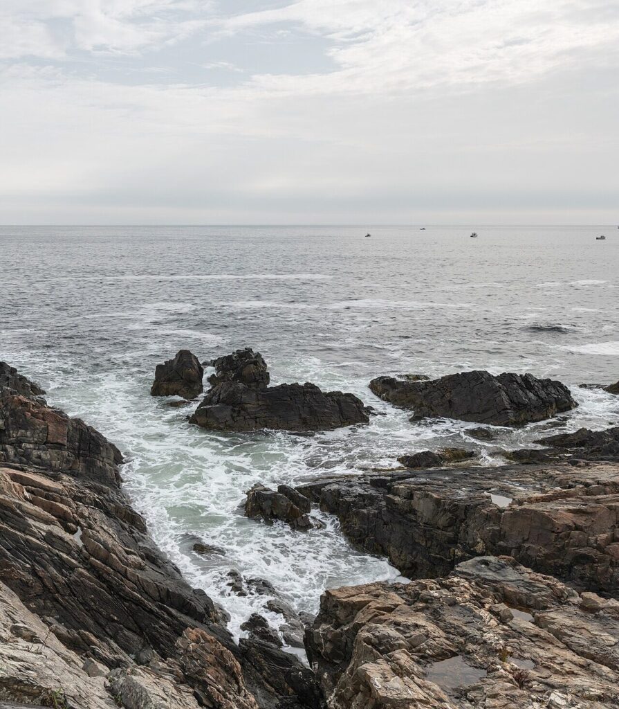
The Marginal Way is a paved cliff walk of about 1.25 miles that follows the rocky shore in Ogunquit, Maine, between the village and Perkins Cove. It is free, open year-round from dawn to dusk, and easy enough that most visitors finish it in under an hour. It is also one of the best-known short walks on the Maine coast. Sources give lengths from 1.25 to 2.3 miles and disagree on a few other details, so this guide covers where to start, parking, how long it takes, the rules, what you will see, when to go and where the sources do not agree.
Marginal Way at a Glance
- Where: Ogunquit, in southern Maine. The path runs between Shore Road in Ogunquit Village and Perkins Cove.
- Length: about 1.25 miles one way, per Visit Maine, the Marginal Way Preservation Fund and maine.com. Other listings say 1.3, 1.5 or 2.3 miles, explained below.
- Surface: paved, with some grades and narrow spots, according to Visit Maine.
- Time: about 25 to 30 minutes without stops and 45 to 60 minutes with them, per Visit Maine. maine.com says 30 to 40 minutes one way.
- Cost and hours: free, open year-round from dawn to dusk.
- Benches: Visit Maine says more than 30, New England Today counts 39 numbered benches and maine.com says about 40.
- Restrooms: none on the path. Visit Maine points to facilities in Perkins Cove and downtown.
- Bikes: not allowed. It is a foot path.
- Dogs: see the rules section below.
How long is the Marginal Way?
It depends on the source and on what is being measured:
- 1.25 miles: Visit Maine, the Fund and maine.com.
- 1.3 miles: Maine Tourism’s listing.
- 1.5 miles: Tripadvisor’s listing.
- “Mile-long”: the state’s Maine Coastal Public Access Guide.
- 2.3 miles: AllTrails lists this as an out-and-back route, which means walking the path both ways.
So the path is about 1.25 miles one way, and a round trip is roughly double. The Town of Ogunquit’s Marginal Way maps page offers a full index map and three section maps as PDFs but does not state a length.
Where to Start and How to Get There
You can walk it from either end, and the path is the same going each way. Most people start at the Ogunquit end on Shore Road and finish at Perkins Cove, where there are restaurants and boats. Others do it in reverse. Either way, plan on a return trip on foot, because it is an out-and-back unless you arrange another way back. If the lots are full, Visit Maine suggests walking to the path from the village, about 20 minutes on flat ground.
Guides name the north end differently:
- Visit Maine: suggests starting near the Sparhawk on Shore Road, and names two main entrances: Perkins Cove in the south and Obed’s Lot off Cottage Street and Shore Road in the north.
- maine.com: starts at the village end on Shore Road near Main Beach, and says several intermediate access points off Shore Road allow shorter walks.
- The state guide: runs from Perkins Cove Harbor to Beach Street in Ogunquit, and lists Little Beach along the route.
These are not necessarily in conflict, since several entrances reach the same path.
Parking
Visit Maine describes two small municipal lots, one at Perkins Cove and one called Obed’s Lot, reached from Cottage Street off Shore Road. Both fill early on summer days, and rates are hourly. It lists the Main Beach and Footbridge Beach lots as backups, with a longer walk or a seasonal trolley ride, and says the Ogunquit Trolley stops at Perkins Cove. maine.com says the Perkins Cove lot typically fills by mid-morning in summer and that village lots near Main Beach are metered. The Town of Ogunquit links to current lot maps and fees, so check that before you go. We could not confirm the current trolley schedule.
The Walk
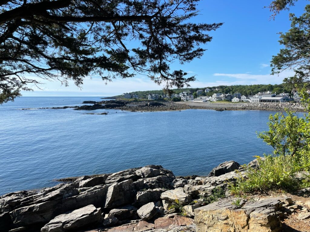
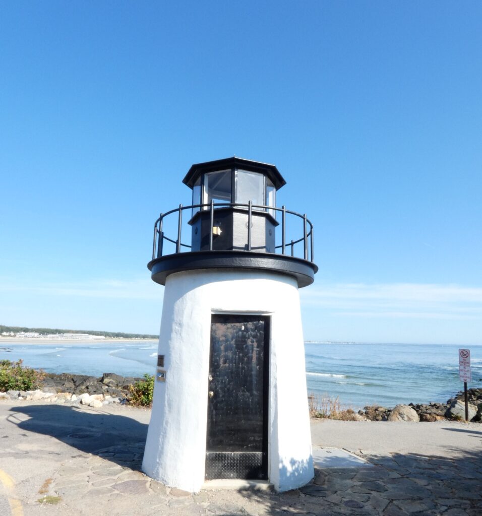
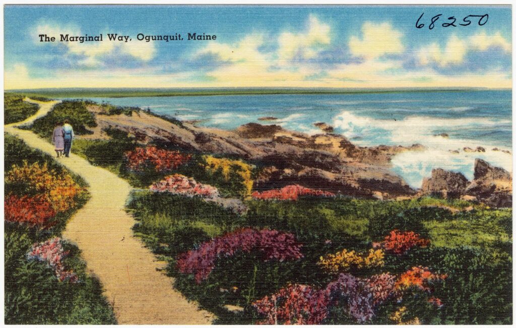
The path hugs the shore, with the ocean on one side and homes, gardens and native shoreline plants on the other. Marginal Way Preservation Fund lists bayberry, honeysuckle, bittersweet and sea roses among the plantings. Along the way you pass rocky ledges, tide pools, a small lighthouse-style municipal building at Lobster Point and benches facing the water. Visit Maine names cliffs at Israels Head and Lobster Point and says the lighthouse houses municipal infrastructure. maine.com calls it a decorative landmark, not a working navigation light. New England Today mentions bronze plaques, including a John Muir quote. At the Perkins Cove end, a hand-operated footbridge crosses the cove, which is a working fishing harbor with restaurants and boat tours. Visit Maine says the wooden pedestrian drawbridge was built in 1941.
A Short History
According to the Marginal Way Preservation Fund, Josiah Chase Jr. donated an oceanfront strip to the Town of Ogunquit in 1925, and the path was later paved and extended. A severe storm in 2010 badly damaged large sections of the path. The Fund was founded that year by local business leaders as a nonprofit with an endowment to help pay for recovery and upkeep, received 501(c)(3) status in 2011 and works with the town’s Marginal Way Committee. The Marginal Way was listed on the National Register of Historic Places on March 23, 2022.
Rules and Safety
- Dogs: Visit Maine says leashed dogs are allowed October 1 through March 31 and not allowed April 1 through September 30. maine.com says dogs are restricted in the summer season, with dates set by the town, and does not list them. We did not find the town’s ordinance, so confirm with the town before you bring a dog.
- Bikes and more: bikes are not allowed, per both guides. maine.com adds skateboards and scooters, and says swimming from the path is not permitted.
- Waves and rocks: the shore is rocky and wave-battered. Stay on the path and keep well back from wet rocks, especially in rough weather.
- Accessibility: Visit Maine says the path works reasonably well for strollers and wheelchairs from the main entrances, with some gentler grades and narrow spots. maine.com says it has real grades and narrow rough sections and is not certified accessible end to end. Check conditions before committing to the full distance.
- Crowds: the path is popular. Early morning or late afternoon is easier, and some sections are narrow.
- Contact: for closures, parking and rules, the Town of Ogunquit is at 207-646-5139, according to its website.
When to Go
It is open all year. Summer is the busiest season for crowds and parking, so arrive early. maine.com suggests going before 8 a.m. or after 6 p.m. in summer, or in May or October, and says storms have closed sections for months, so check before a shoulder-season visit. Fall and the off-season mean fewer people, and dogs are allowed on a leash then, per Visit Maine. We have no source for a best hour for sunrise or sunset, so we would not promise one. Check the weather and sea conditions first.
Why the Sources Disagree
- Length. Listings round or measure differently, and AllTrails counts a round trip. See above.
- The 1925 gift. The Fund’s own page describes Chase’s gift both as a “mile-long strip” and as a modest parcel at a corner of Oarweed Cove, and does not explain how it became the current 1.25-mile path.
- The start. Visit Maine, maine.com and the state guide name different streets at the village end.
- Benches and the lighthouse. Visit Maine says more than 30 benches and a lighthouse roughly midway. maine.com says about 40 benches and a lighthouse about two-thirds of the way to Perkins Cove. New England Today counts 39.
- Dog rules. One guide gives dates and another says only that the town sets them.
- Age of the guides. Parking fees and rules change, so confirm with the town.
Frequently Asked Questions
How long is the Marginal Way?
About 1.25 miles one way between Ogunquit Village and Perkins Cove, according to Visit Maine, the Fund and maine.com. Some listings round it to 1.3 or 1.5 miles, and AllTrails lists about 2.3 miles for the round trip.
How long does it take to walk the Marginal Way?
Visit Maine estimates 25 to 30 minutes without stops and 45 to 60 minutes with them. maine.com says 30 to 40 minutes one way.
Where does the Marginal Way start and end?
It runs between the village of Ogunquit, near Shore Road, and Perkins Cove. Guides name different street entrances at the village end.
Is the Marginal Way free?
Yes. It is free and open year-round from dawn to dusk. Parking is not free.
Where do you park for the Marginal Way?
There are small municipal lots at Perkins Cove and at Obed’s Lot, which is reached from Cottage Street. They fill early in summer, so check the town’s parking page for current fees and backup lots.
Are dogs allowed on the Marginal Way?
Visit Maine says leashed dogs are allowed October 1 through March 31 and not allowed April 1 through September 30. Confirm with the Town of Ogunquit before you go.
Are bikes allowed on the Marginal Way?
No. Both Visit Maine and maine.com say the path is for foot traffic only.
Is the Marginal Way wheelchair accessible?
It is paved, and Visit Maine says it works reasonably well for strollers and wheelchairs from the main entrances. maine.com says it has real grades and narrow rough sections. Check conditions first.
Are there bathrooms on the Marginal Way?
No. Use the facilities in Perkins Cove or downtown Ogunquit.
Is the Marginal Way on the National Register of Historic Places?
Yes. It was listed on March 23, 2022, according to the Marginal Way Preservation Fund.
Our details come from Visit Maine, maine.com, the Town of Ogunquit, the Marginal Way Preservation Fund, New England Today and the state’s Maine Coastal Public Access Guide. Distances, parking and rules differ between sources and change, so we give the range and say what to confirm.
Keep Reading
MaineGuide.com has been helping people visit, move to and work in Maine since 1995. We are part of a Maine network that includes JobsInMaine.com, connecting Maine employers and job seekers since 1997.